CIFRI Awards
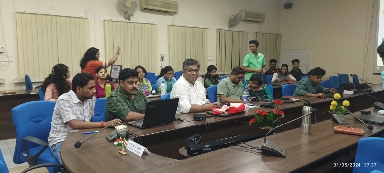
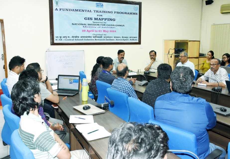
The Training Programme on “A Fundamental GIS Training Progamme for GIS Mapping”, held from April 29th to May 1st, 2024, at CIFRI, Barrackpore, marked a significant endeavor in equipping participants with crucial skills in Geographic Information System (GIS) mapping, particularly relevant to the inland fisheries domain. With the escalating importance of understanding the spatial distribution of fish species and water resources for effective fisheries management, the program underscored the indispensable role of GIS techniques in this field. The total 38 trainees participated in this program out of them, 8 participants are PhD holders, while the remaining individuals come from backgrounds in B.A, M.A, MFSc or MSc. The inauguration of the program was led by Dr. B.K. Das, Director of ICAR-CIFRI. Dr. Das emphasized the significance of GIS and remote sensing skills in fisheries research, providing an overview of previous achievements in mapping resources of inland rivers. He emphasized the importance of mapping fish species distribution and spatial distribution of water resources, showcasing field data in terms of GIS maps for a user-friendly approach which will be helpful for policy makers of fisheries sector. He urged the trainees to embrace this new scientific area to enhance their research capabilities.
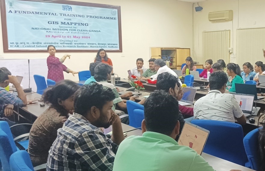
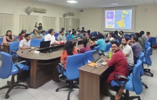
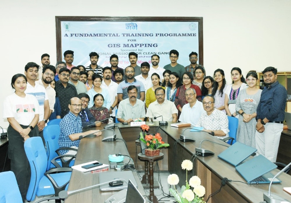 The comprehensive curriculum of the training program spanned over three days, covering a wide array of topics essential for GIS mapping in fisheries research. Participants delved into fundamental concepts of remote sensing, gaining insights into utilizing open-source software like QGIS for spatial data analysis and visualization. Geo-referencing techniques and mapping using Google Earth imagery were explored in depth, providing participants with practical skills in creating water resource maps and study area maps tailored to the unique features of inland fisheries ecosystems. Additionally, the curriculum offered an overview of various GIS tools and discussed potential future applications and advancements in the field, offering participants a holistic understanding of GIS methodologies in fisheries research.